Gallery / Rectangles & grids
polygon
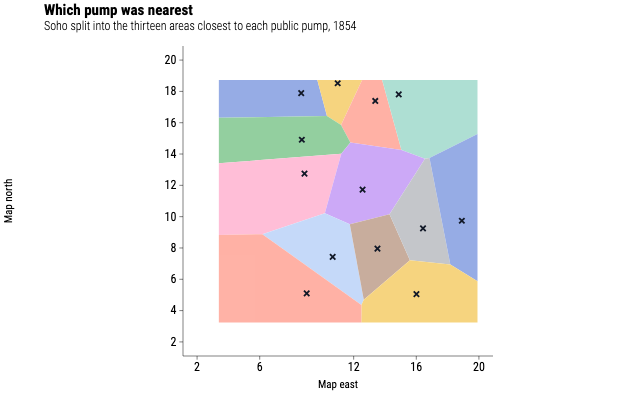
Which pump was nearest
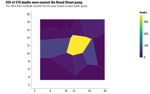
The thirteen areas of Soho closest to each public pump in 1854, each drawn as one closed ring of vertices in winding order.
Source
Svelte, builder, JSON
<script lang="ts">
  import {
    CoordFixed,
    GeomPoint,
    GeomPolygon,
    GGPlot,
    GuideNone,
    Labs,
    ThemeClassic,
  } from "@ggsvelte/svelte";

  import { pumpNeighbourhoods, waterPumps } from "./data.js";
</script>

<GGPlot
  data={pumpNeighbourhoods}
  aes={{ x: "x", y: "y", group: "pump", fill: "pump" }}
  width={640}
  height={400}
>
  <ThemeClassic />
  <CoordFixed />
  <GuideNone channel="fill" />
  <Labs
    title="Which pump was nearest"
    subtitle="Soho split into the thirteen areas closest to each public pump, 1854"
    x="Map east"
    y="Map north"
  />
  <GeomPolygon alpha={0.55} linewidth={1.2} />
  <GeomPoint
    data={waterPumps}
    aes={{ x: "x", y: "y", color: { value: "#111827" } }}
    size={3.6}
    shape="cross"
  />
</GGPlot>
Meta
Details
- Family
- Rectangles & grids
- Source
polygon/regions- Rendering
- SVG
- Techniques
Related